A Pat Cauriernet product

Finding the next shack fire before it starts.

Umlilo Shield looks at pictures of crowded backyards and informal rental rooms from above, and works out which blocks are most likely to catch fire — so the fire department can visit and help before anything burns.

Each block = one street block. Darker orange = higher fire risk.

Plain-English reading

Why backyard dwellings burn faster

Zinc, wood pallets, and shared extension cords are common in informal rental rooms. Here's why that mix is so risky, in simple terms.

Read the problem →

How a computer "looks" at a rooftop photo

A short, no-jargon explanation of how the AI camera model tells a zinc roof from a brick one, from a satellite picture.

See the solution →

From heatmap to a home visit

How a red block on a map turns into a real fire officer knocking on a real door with real safety advice.

See our model →

What's actually going wrong

Fire departments only find out after the fire

Right now, nobody knows which blocks are dangerous until a fire truck is already on its way. There is no early warning.

Backyard rooms are packed close together

Many properties have several small rental rooms squeezed into one yard. If one room catches fire, it can jump to the next in minutes.

Wiring and building materials are often informal

Rooms are frequently built from flammable materials, with electrical wiring that was never checked by anyone qualified.

Safety education reaches the wrong places

Without data, fire-safety visits happen randomly or only where someone complains — not where the real risk is highest.
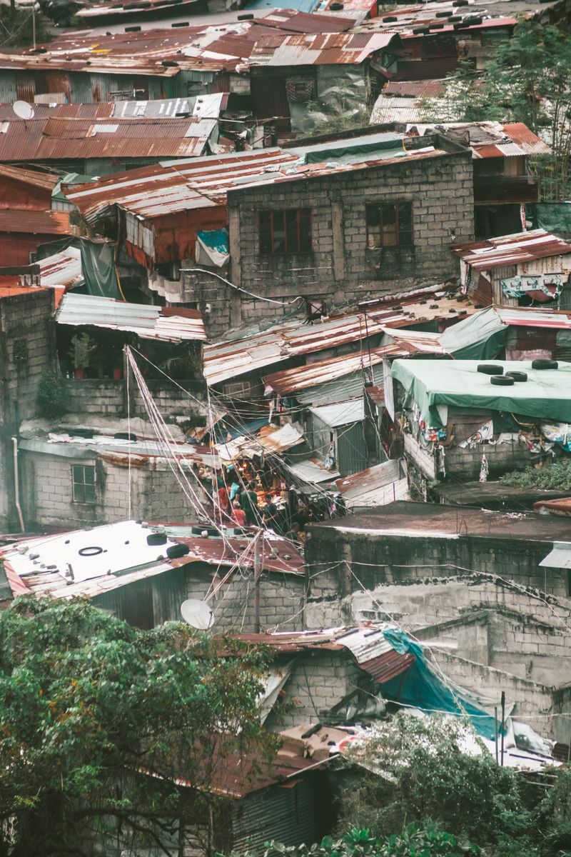
Aerial view of Phola township, Mpumalanga, South Africa
Backyard rooms, packed close together — Phola township, Mpumalanga
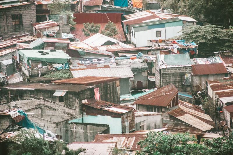
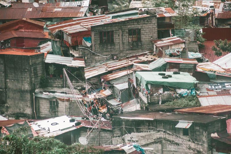
Aerial view of an informal settlement with makeshift rooftops and power lines, South Africa
Informal electrical wiring between homes
Dusty street lined with concrete walls in a Johannesburg township, South Africa
Township streets, close-set housing — Johannesburg

Photos: Pexels, free to use under the Pexels licence.
How Umlilo Shield finds the risk

Step 1 · AWS

Collect the pictures

Drone and satellite photos of dense residential blocks are stored safely in AWS S3, ready to be analysed.

Step 2 · Azure OpenAI

"Look" at each block

An Azure OpenAI vision model studies each photo — how many buildings, what they're made of, and how close together they are.

Step 3 · Azure ML

Score the risk

Azure ML combines that with past fire records to build a risk-heatmap: which blocks are most likely to have a fire.

Step 4 · People

Send help first

The fire department gets a ranked list of the riskiest blocks, so education visits and safety checks go there first.

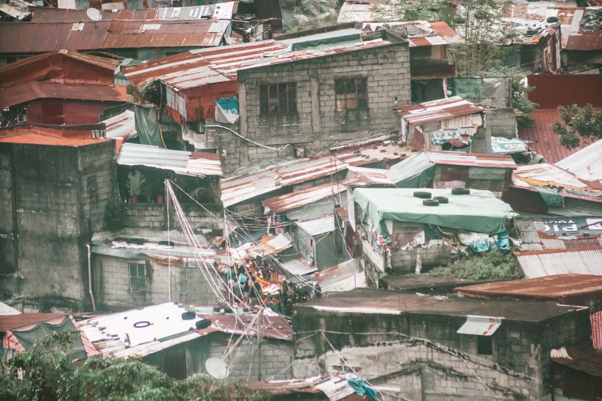
Aerial perspective of corrugated iron roofs in an urban informal settlement, South Africa

Photo: Pexels, free to use under the Pexels licence. An overhead view like this is the kind of image the vision model reads.
Why AWS, Azure OpenAI and Azure ML matter

AWS

A person can't safely store or move thousands of drone and satellite photos on a laptop. AWS S3 holds all of it securely and lets the AI models pull photos instantly, from anywhere in the country, without losing data.

Azure OpenAI (Vision)

No human team could look at every rooftop in every township by eye — it would take years. The vision model does in seconds what would take a person hours: spotting roof material, counting buildings, and judging how close they are.

Azure ML

Photos alone don't tell you where fires actually happened before. Azure ML mixes the photo results with real historical fire records, turning "this looks crowded" into "this block is a genuine, ranked fire risk."

In short: AWS keeps the evidence safe, Azure OpenAI reads the evidence, and Azure ML turns it into a decision the fire department can act on. Remove any one of the three and the system either loses its data, can't understand the photos, or can't turn understanding into a usable risk score.

What kind of AI is this?

1 · Block photo
One drone or satellite image of a street block
2 · Vision model
Counts buildings, spots roof material, measures how close they are
3 · Risk-scoring model
Mixes that with past fire records for this area
4 · Risk score
High risk Sent to the fire department's visit list

Image density model

Looks at a photo of a block and works out how many buildings are packed in, and what they're made of (zinc, wood, brick).

Risk-scoring model

Takes that information plus past fire records and gives every block a simple risk score — low, medium, or high.

What it costs to run

ItemCost
Vision model — analysing one block photoR0.35 – R0.90 per block
Risk-scoring model — scoring one blockNear R0 (very cheap at scale)

These are estimated running costs per block analysed, shown in South African Rand. Actual pricing may shift slightly with currency exchange rates and cloud provider pricing changes.

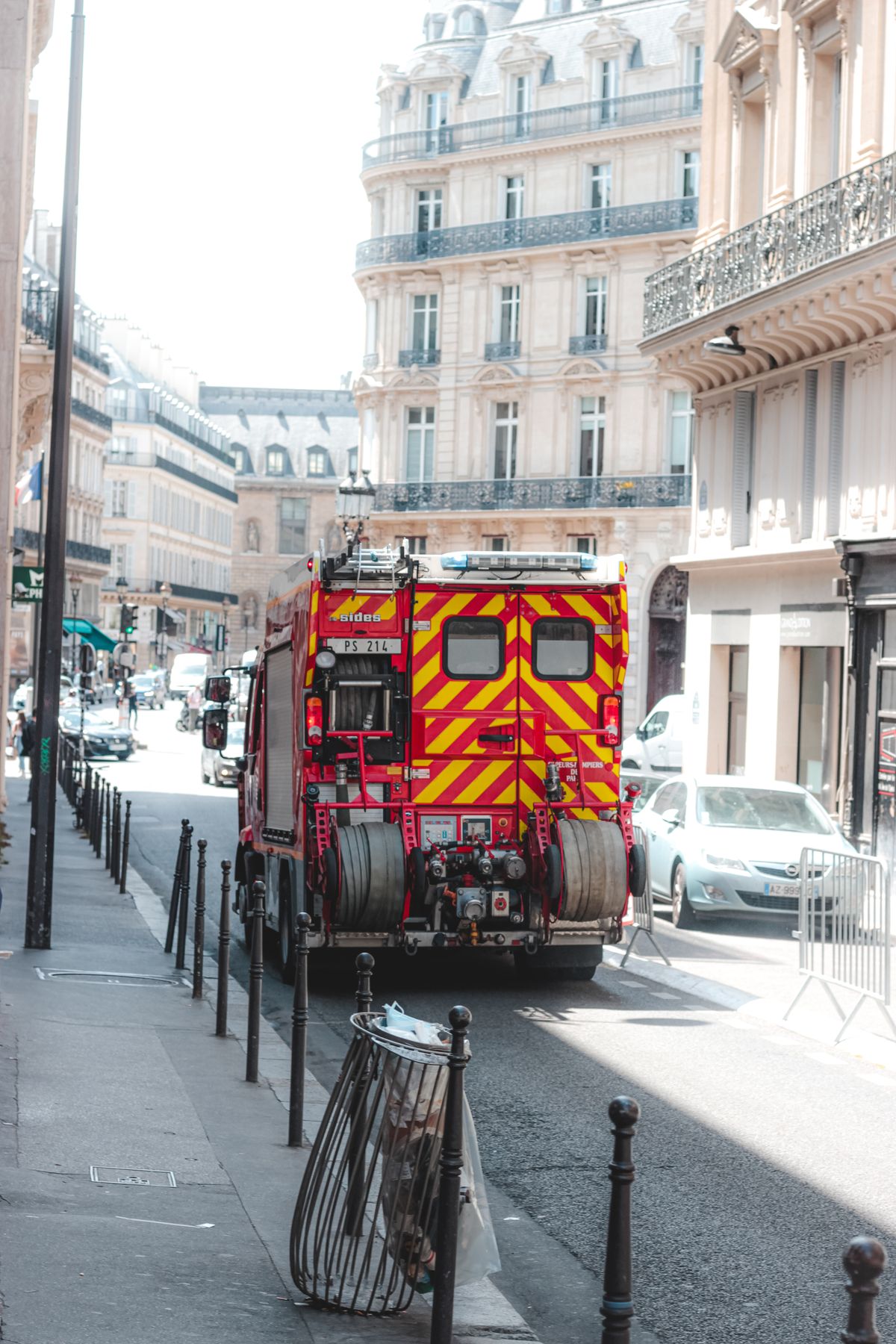
Fire engine truck responding on an urban street

Photo: Pexels, free to use under the Pexels licence. Umlilo Shield exists to get fire crews to the riskiest blocks before a fire starts.